Minimální systémové konfigurace:
- CPU: Pentium 166 MHz
- RAM: 32 Mb
- OS: Win95/Win98/WinNT4/WinME/Win2000/WinXP
- Video karta: 640×480, 256 barev
- Místo na disku: 9 Mb (+55 Mb pro 30 map s většími detaily reliéfu)


Po odkliknutí ikony atlasu vám oznámí aplikace, že se jedná o 30 denní verzi a po stisknutí tlačítka pokračovat se zobrazí celý atlas na obrazovce.
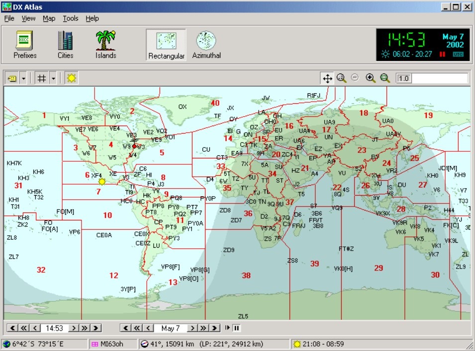
V levém rohu je napsáno jakou verzi atlasu máte. Těch verzí je již několik počínajíc 1.0. V řádku pod tím je pět tlačítek:
- File – slouží k uložení žádané mapy ve formátu „bmp“ a k vypnutí atlasu.
- Toolbar – slouží zobrazení pracovní lišty s hodinami na pravé straně (lze přepnout i na UTC) a indexu, který se zobrazuje na levé straně atlasu (přehled měst, států, ostrovů). Je možno navolit (z leva) zobrazení: prefix, města, ostrovy, a nad mapou – klasické zobrazení, zobrazení azimutu, globus (poslední tři tlačítka nad mapou slouží k ovládání mapy).
- Map – je zde několik možností:
– klasické zobrazení
– zobrazení azimutu
– globus
– X: zobrazí se jen seznam toho, co už máte navoleno na liště (prefixy, města, ostrovy)
– Labels: nastavení zobrazení prefixy, města, ostrovy na mapě – je možno ho i vypnout.
– Grid: zobrazí CQ,ITU zóny, azimutální šířku a délku, lokátor – je možno ho i vypnout.
– Reliéf: zapnete a vypnete zobrazení plastické mapy
– Gray line:zapnete a vypnete zobrazení dne a noci
– Pin: Slouží k označení míst barevným špendlíkem dle vašeho požadavku na mapě (třeba DXCC, měst kam jste se dovolal).Lze i špendlík odstranit.
– Change home location: změna vašeho lokátoru – (QTH) - Tools – Go to locacion: běž na …možno zadat azimutální šířku a délku nebo lokátor.
– Resolve callsing: při napsání amatérské značky se v tabulce vypíše stát a prefix a po kliknutí na prefix se objeví křížek na mapě v daném místě odpovídající údaji v tabulce.
-Index legend: vysvětlivky k seznamu prefixů,států a ostrovů. Při stisknutém pravém tlačítku pokud máte v levé polovině označeno město, ostrov, stát se vám zobrazí detaily k např: k městu, a dále si ho můžet nechat ukázat, kde leží na mapě.
– Square totals: zhodnocení stavu s kolika lokátory jsi pracoval.
– Settings: lze zde nastavit celý atlas v jiných barvách (originální nastavení není nejlepší a proto doporučuji své vlastní, pak globus i mapy vyniknou), reliéf, kontrast, inosférická mapa atd. - Help: slouží hlavně k registraci a jsou zde i vysvětlivky, ale pochopitelně v angličtině.

– Pokud vypnete seznam v levé části tak velikost mapy se zvětší. Nad mapou máte podobná tlačítka jako jsem popisoval a princip ovládání je stejný.
– Tvar mapy se ovládá tlačítky klasické zobrazení, zobrazení azimutu, globus (poslední velká tři tlačítka nad mapou )
– Velikost ovládáte buď kolečkem na myši nebo v pravém horním rohu pod datem posouváte zvětšení (pro každé jiné zobrazení mapy je jiné zvětšení)
– Na pravé straně jsou ještě tlačítka pro zvětšení mapy „plus“ a „mínus“, „nastavení základní velikosti mapy“, „výřez mapy“, „měření vzdálenosti z vašeho QTH“ a „posouvání mapy“.

– Dobrá zpráva pro vás: Atlas funguje i po 30 dnech, které jsou na registraci.
– Ta horší: Iono mapy jsou spočítané jen do roku 2005, ale atlas by snad měl fungovat dál, Takže ten, kdo by chtěl i ty Iono mapy funkční si je bude muset stáhnout, nebo s novou verzí budou asi nové.
– Popisovaný atlas používám již více než rok a jsem s ním velice spokojen. Je to lepší než hledat v atlasu světa, pokud ovšem nemáte počítač. Díky tomu jsem také vyměnil v loni letitou 486/33 za něco lepšího, aby mi vše fungovalo.
– Samotný atlas je velice dobře propracován. Zatím jsem se s lepším snad nesetkal. Pokud by jste si jej chtěli vyzkoušet najdete poslední verzi včetně doplňku na adrese http://www.dxatlas.com

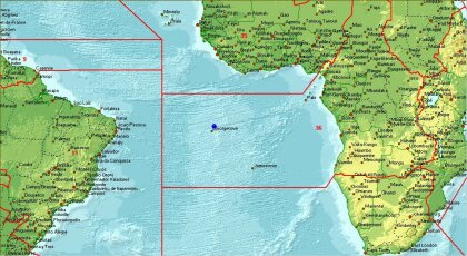
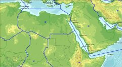
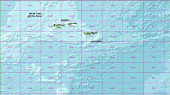
– Existuje doplněk pro verzi 2.1 a to doplňkové mapy s podrobnějším reliéfem (30 map). Celkový balík má asi 58 MB a atlas má potom 67,5 MB. Musí se nainstalovat ihned po instalaci atlasu!!! Pokud byste náhodou instalovali až po 30 denní zkušební době, nepodaří se vám po instalaci map atlas rozchodit. Atlas bude fungovat jen pokud doplněk smažete. V případě, že už atlas máte delší dobu je nutno po odinstalaci vyčistit registry. V nejhorším případě přeinstalovat celý systém.
– Pokud to neuděláte, tak po další instalaci se vám nevypíše, že je to 30 denní verze a jste na tom tak, jako by jste ho neodinstalovali.

S pozdravem Vlado
